Explore New Zealand Geography and Kiwiana Culture

If you ask your students to name some of the major symbols in New Zealand or “Kiwiana” culture, most could rattle off a few: gumboots, kiwifruit, L&P, hokey pokey ice-cream, pavlova, number 8 wire… and the list goes on. Ask those same students to point to where they live on a map and the likelihood of success is less! Our NZ geography resource helps you to explore New Zealand Geography and Culture with your students.
New Zealand’s unique culture, or Kiwiana as it is widely known, is very interesting to explore. Kiwiana is highly visible around New Zealand (huge landmarks like the Sky Tower or the big Kiwifruit in Te Puke, and items in their pantry such as Edmonds Baking Powder or L&P). This visibility helps students to connect and bring prior knowledge to their learning.
We’ve coupled this Kiwiana culture with a deep dive into New Zealand’s geography. By physically building their own map of New Zealand through puzzle pieces and linking all further activities to the map, students can see their learning come alive visually. As New Zealand culture also includes the Māori culture, we have added facts about New Zealand place names in te reo Māori and Māori history within this unit. Additionally, it doesn’t hurt that this NZ culture resource creates a stunning display for your classroom, too!
New Zealand Geography and Kiwiana Culture Success Criteria and Curriculum Links
By the end of our New Zealand Geography and Culture unit, we want students to be able to:
- Locate where they live on a map of New Zealand.
- Explain three facts about two (or more) of the urban centres.
- Locate the main urban centres on a map of New Zealand.
- Explain three facts about two (or more) Kiwiana symbols.
- Explain three facts about one (or more) Kiwiana landmark.
This resource integrates reading, writing and social studies, so it can be used throughout your day. The three learning areas within the Social Studies curriculum that fit with this unit are Identity, Culture and Organisation, Place and Environment, and Continuity and Change. You can read more about these areas here.
You can find more teacher-created material in our online teaching resources shop.
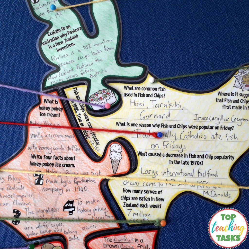
Stage One: Kiwiana New Zealand map puzzle poster
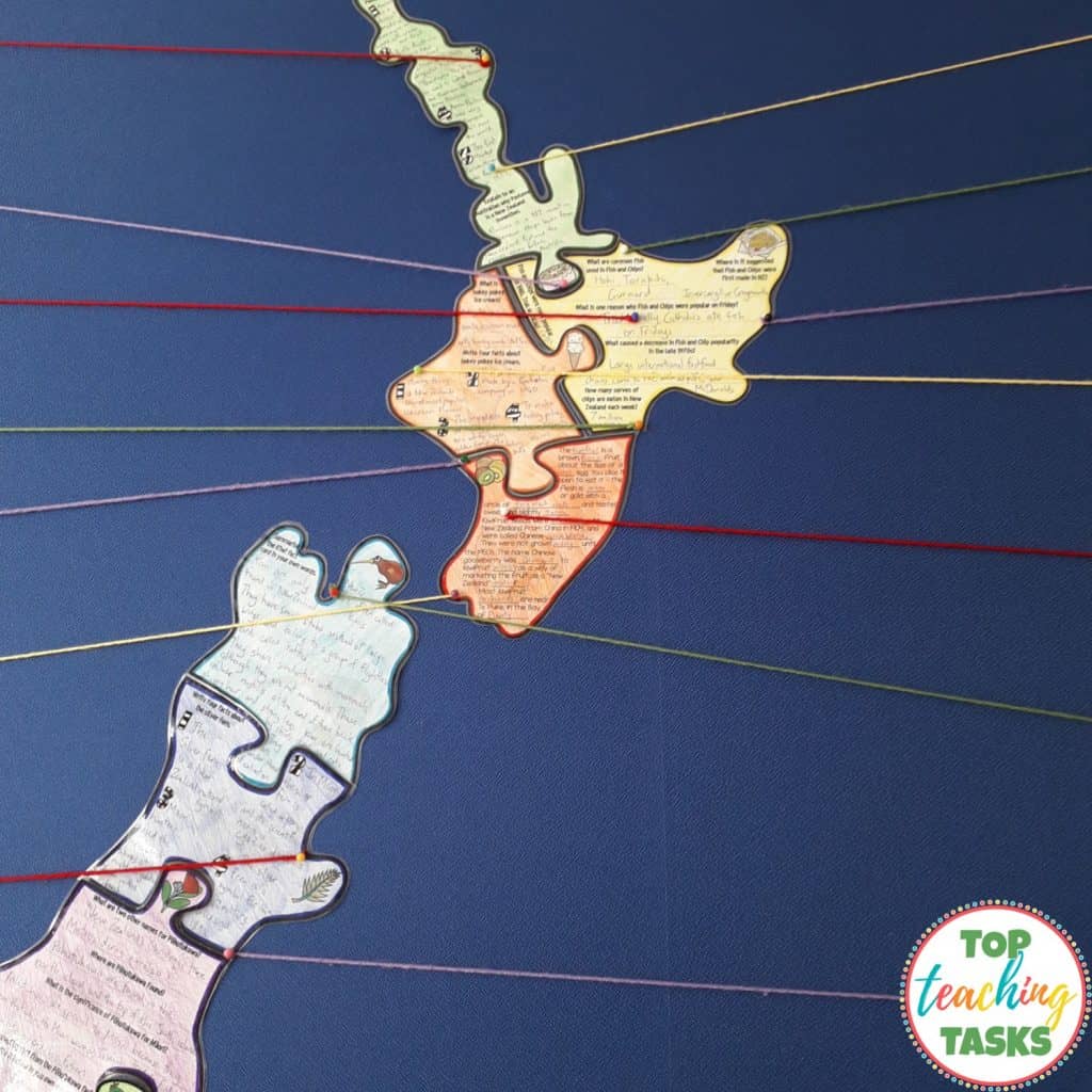
The purpose of this resource is to provide an interactive and engaging way to learn about Kiwiana and New Zealand’s geography. This activity involves reading comprehension strategies such as cloze reading, summarising and finding specific information.
As students read the fact cards and their question puzzle pieces, they have to hunt for information. This information-finding skill will involve reading and re-reading the fact cards. This activity, therefore, mirrors the reading comprehension skills you will be teaching your students throughout the year. There is a range of puzzle activities, including filling in the gaps using context clues, answering specific questions, and summarising.
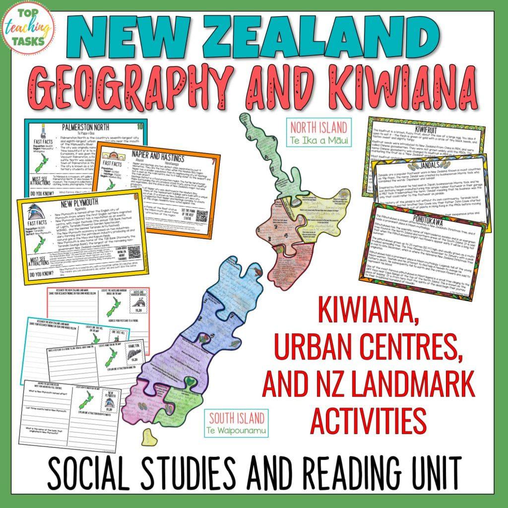
By the end of stage one, individual students, pairs, or small groups will have created their own New Zealand map puzzle poster. This map puzzle poster will be filled with information about nine of New Zealand’s unique Kiwiana symbols.
We have also provided te reo Māori labels for the New Zealand map such as: North Island – Te Ika a Māui and South Island – Te Waipounamu.
Stage Two: New Zealand urban areas fact cards and follow up activities
The second stage in this resource is learning about New Zealand’s urban areas and main cities. There are some amazing attractions around Aotearoa Unfortunately, the reality for many of your students is they will never have seen these attractions in the real world. Many New Zealand children don’t travel much further than their suburbs or cities.
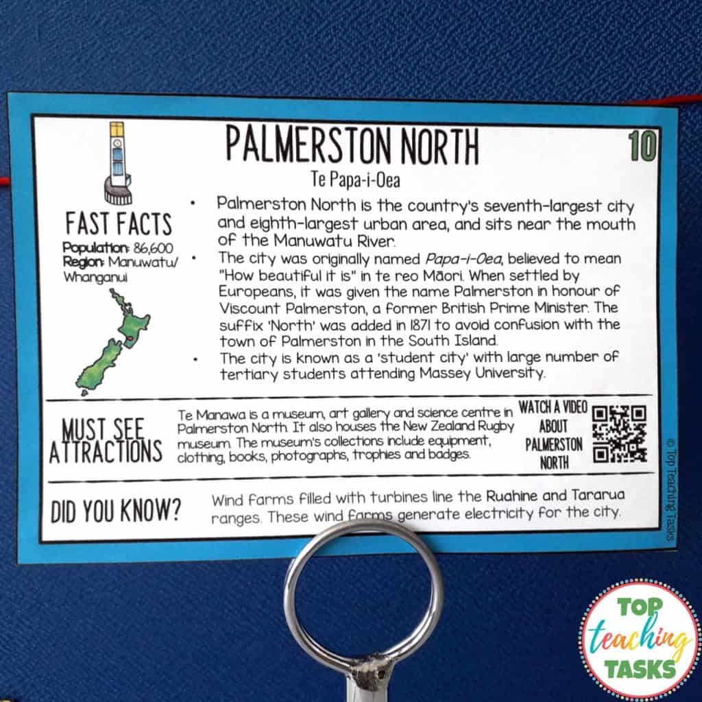
With that in mind, we have created engaging and interactive New Zealand urban area fact cards. Each fact card has a QR code that can be scanned with a digital device and will bring up a video or website with more visual information about the city or town. Linking these urban areas back to the New Zealand map will help your students to understand where that town or city “fits’ within Aotearoa.
Additionally, the te reo place name is found on each urban area fact card, and many fact cards explain the meaning of the place name in both te reo and English. We have also included information about the history of urban areas, including how the area was used by Māori in the past.
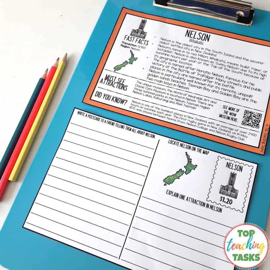
The follow-up activity postcards include three different types of activities:
- Summarise
- Short answer questions
- Cloze reading activities
This ensures there are differentiated activities for a range of abilities.
Stage Three: New Zealand iconic landmarks
The third stage of our New Zealand Geography and Culture unit involves researching a New Zealand iconic landmark. We have included 38 of these landmarks, such as Hobbiton, the Cromwell Giant Fruit, the Auckland Harbour Bridge, and Abel Tasman National Park.
Students take part in independent research and share their findings on the provided postcards.
This activity could be used with the whole class or with early finishers.
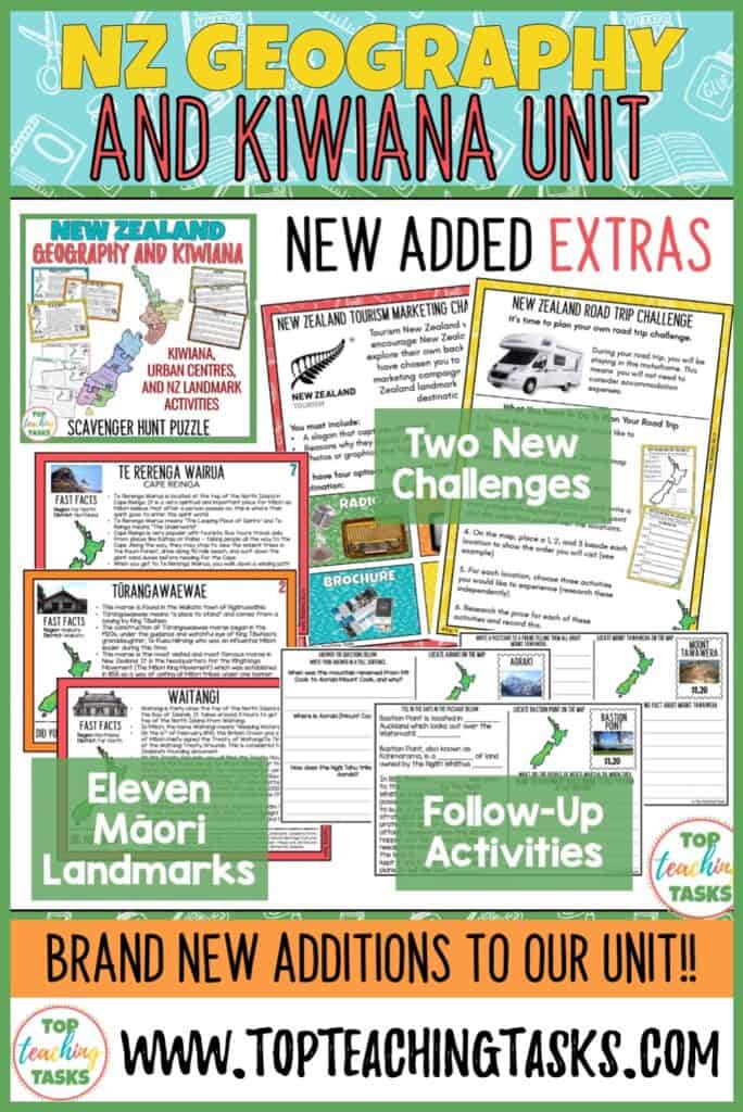
New Updates July 2020
- Two new challenges (advertising a landmark, then planning a road trip)
- 11 Māori landmark fact cards (places that hold special meaning to Māori)
- Follow up activities and answers
Click here to buy our New Zealand Geography and Kiwiana Culture Unit today!
We would love to see your completed New Zealand map puzzles and the other completed activities! Tag us on Instagram at @top_teaching_tasks, or email photos to admin@topteachingtasks.com.
If you have any questions about this resource, please get in touch.
Join our membership
Onwards and upwards,

